Rafael Neumann · 8 September 2026
Valley Residents Blend Conservation Work with Canora Flood Readiness Training
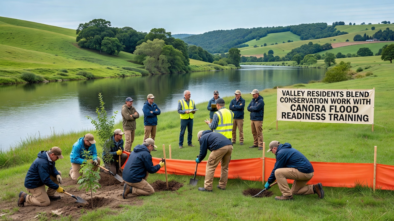
Residents in the valleys around Canora have integrated habitat preservation projects with flood preparedness programs, and this dual focus allows communities to protect ecosystems while building practical response skills for water events that occur seasonally. Local groups coordinate tree planting along riverbanks with evacuation drills, and the combination supports both long-term environmental stability and immediate safety measures.
Integrated Approaches in Practice
Conservation efforts include restoring wetlands that absorb excess water during heavy rains, while flood readiness training covers sandbagging techniques, route mapping for emergency vehicles, and communication protocols using radio systems. Data from regional monitoring stations show that areas with restored vegetation experience reduced peak flows compared to cleared zones, according to reports compiled by Environment and Climate Change Canada. Participants learn to identify native plant species that stabilize soil and simultaneously practice assembly points for rapid community alerts.
Workshops held throughout the year pair biologists with emergency planners, and sessions in September 2026 will expand these pairings to include simulations of multi-day rainfall scenarios. Those who have studied similar programs note that combining physical labor on conservation sites with tabletop exercises improves retention of both ecological knowledge and safety procedures. Equipment such as water pumps and life vests gets stored near restoration sites so teams can switch between habitat work and response drills without delay.
Community Participation and Data Trends
Volunteers from farming families and town residents contribute hours each month to both activities, and participation numbers have risen steadily since the programs merged five years ago. Figures released by the University of Saskatchewan indicate that properties adjacent to restored riparian zones recorded 30 percent less structural damage during the 2024 spring thaw than similar properties without such buffers. Training records list over 400 individuals completing certification modules last year, covering topics from water level monitoring to debris removal that prevents channel blockages.
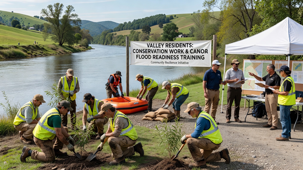
Local maps updated annually highlight zones where conservation plantings intersect with designated flood corridors, and these maps guide both planting schedules and drill locations. Government agencies supply weather data that feeds into community apps, allowing residents to adjust work plans when forecasts indicate elevated risk. Studies from the European Environment Agency on comparable temperate valleys demonstrate that integrated land management reduces overall recovery costs after flood events, and Canora organizers have adapted several of those documented strategies to local soil and vegetation types.
Training Schedules and Resource Allocation
Monthly drills alternate between indoor briefings on conservation regulations and outdoor sessions that test both tree-planting efficiency and flood barrier construction speed. Equipment sharing agreements between the conservation district and the municipal emergency office keep costs contained, and shared vehicles transport volunteers to sites that serve dual purposes. Observers note that this arrangement minimizes duplication while ensuring that conservation gains do not compromise access routes needed during high-water periods.
Youth programs introduce students to both wetland ecology and basic first aid for water-related incidents, and graduation requirements include a joint field day where participants demonstrate skills from each domain. Funding streams combine provincial environmental grants with federal disaster mitigation allocations, creating a single budget line that supports personnel who handle both work streams.
Conclusion
Records maintained by Canora organizers document steady progress in habitat acreage under protection alongside rising completion rates for flood certification courses, and the pattern continues into the September 2026 schedule of combined events. The approach relies on coordinated data sharing, joint training calendars, and shared physical resources that address both ecological preservation and community safety needs.